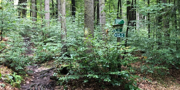
Herkulessäulen - Johanniswacht Route
Hiking Route
· Saxon Switzerland

Responsible for this content
Globetrot with Scott 3 euros cash for all day parking.
I started to the left, but I'd actually recommend doing the opposite. This is a nice hike for mid/late afternoon as you'll get sun on both sides. Lots of really good viewpoints.
I started to the left, but I'd actually recommend doing the opposite. This is a nice hike for mid/late afternoon as you'll get sun on both sides. Lots of really good viewpoints.
easy
Distance 5.5 km
1:56 h
218 m
215 m
435 m
348 m
Difficulty
easy
Technique
Stamina
Experience
Landscape
Highest point
435 m
Lowest point
348 m
Best time of year
Jan
Feb
Mar
Apr
May
Jun
Jul
Aug
Sep
Oct
Nov
Dec
Start
Coordinates:
DD
50.849670, 14.042451
DMS
50°50'58.8"N 14°02'32.8"E
UTM
33U 432592 5633544
w3w
///soppy.rounders.soaped
Note
all notes on protected areas
Coordinates
DD
50.849670, 14.042451
DMS
50°50'58.8"N 14°02'32.8"E
UTM
33U 432592 5633544
w3w
///soppy.rounders.soaped
Arrival by train, car, foot or bike
Book recommendations for this region:
Show more
Recommended maps for this region:
Show more
Difficulty
easy
Distance
5.5 km
Duration
1:56 h
Ascent
218 m
Descent
215 m
Highest point
435 m
Lowest point
348 m
Statistics
2D
3D
Maps and trails
- Waypoints
- Waypoints
Distance
km
Duration
: h
Ascent
m
Descent
m
Highest point
m
Lowest point
m

Questions and answers
Would you like to the ask the author a question?
Rating
Help others by being the first to add a review.
Photos from others